
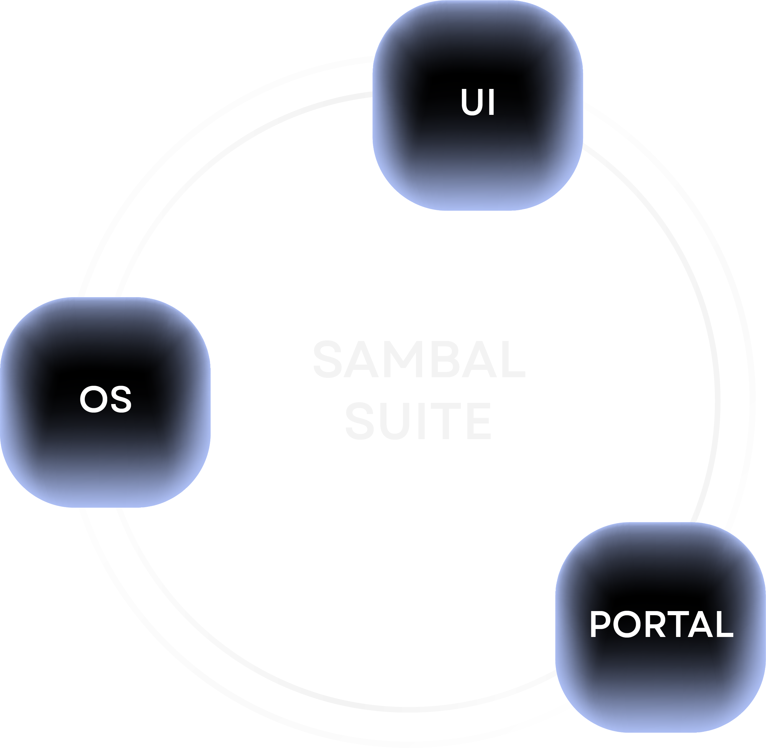
Sambal OS
The artificial intelligence of our drones, powered by cutting-edge CPU and GPU technology
Sambal UI
A unified mission control system for operators and real-time data reporting
Sambal Portal
Cloud system hosting post-project insights and reports for quick team collaboration

The artificial intelligence powering every BeeX drone through cutting-edge CPU, GPU, and sensor technology.
Optimal station-keeping with an adaptive control system for wave and current compensation
Autonomous target tracking with seamless integration of a sensor suite
Multi-sensor perception fusion with 3D geo-referenced datasets
Integrated emergency failsafe protocols, making drones resilient to the loss of comms
Operators plan flight paths and capture real-time data through a unified mission control interface.
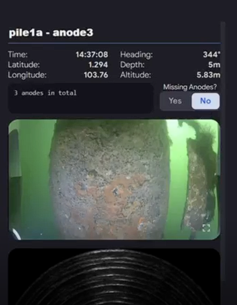
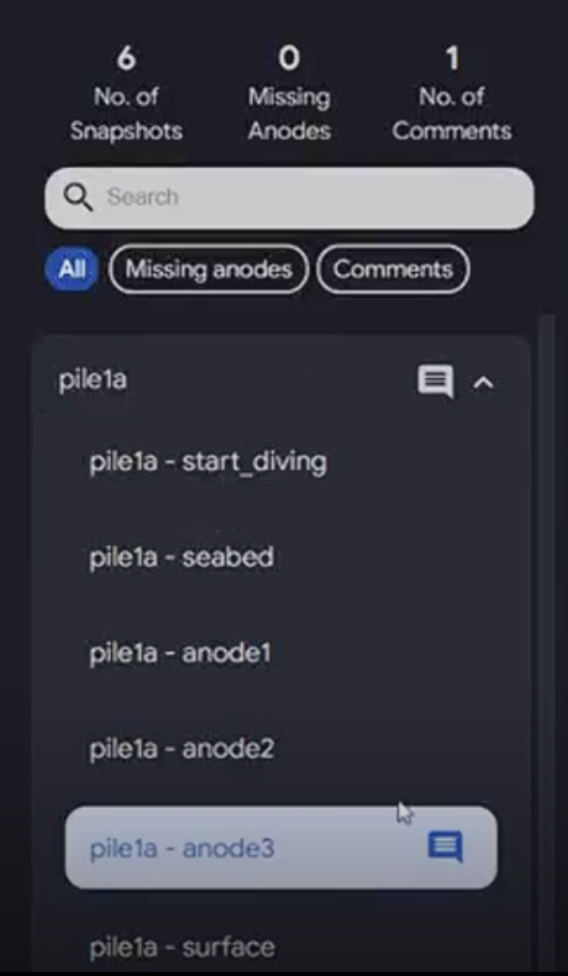
Real-time snapshots of abnormalities while the drone is in operation
Drone control across multiple autonomy modules (path, lawnmower, and encirclement)
- Autonomy Modules -
Path
Drone moves along a path, regular or irregular, and gathers data from point to point while adjusting its altitude, latitude, and longitude positioning
Lawnmower
Drone moves along a path and follows the same turning radius in a pattern
Encirclement
Drone encircles a detected object, maintaining a fixed stand-offish distance from the asset before arriving at its original xyz location
- We capture all the data you need in 1 single dive -

Measurable visual data from multiple view points
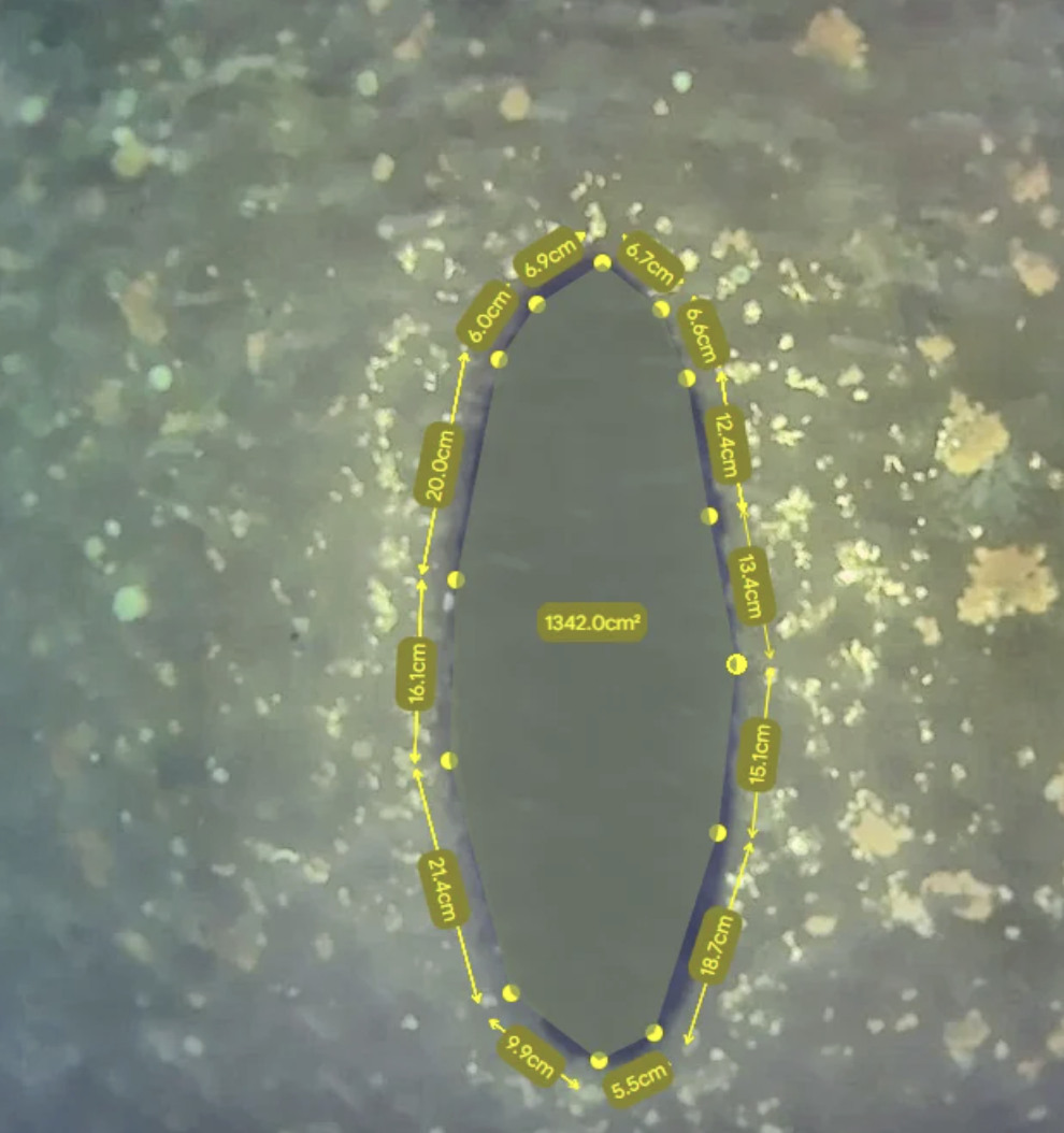
Compare the size of objects on inspected objects or seabeds with a bird’s eye view
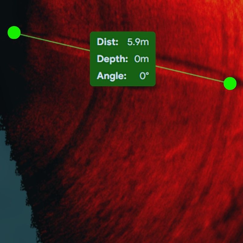
Compare the size of objects on inspected objects or seabeds with a bird’s eye view
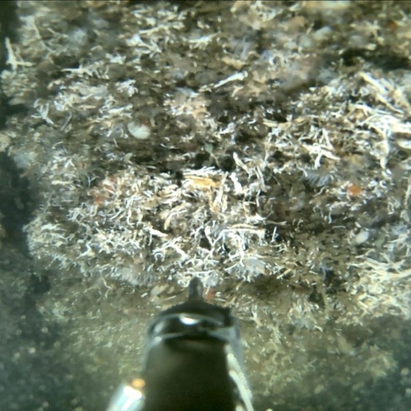
Compare the size of objects on inspected objects or seabeds with a bird’s eye view
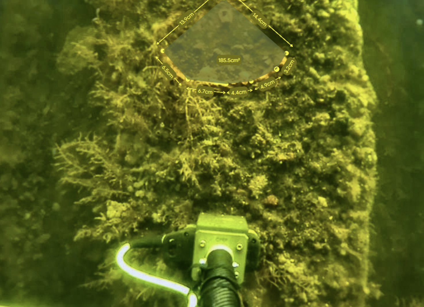
Compare the size of objects on inspected objects or seabeds with a bird’s eye view

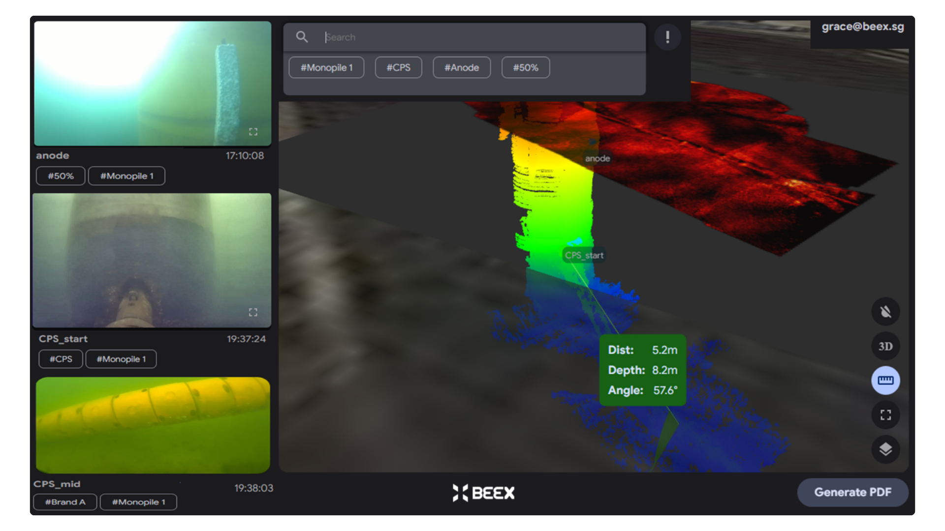


Powerfully centralizing insight, optimized for efficient decision-making as your mission scales.
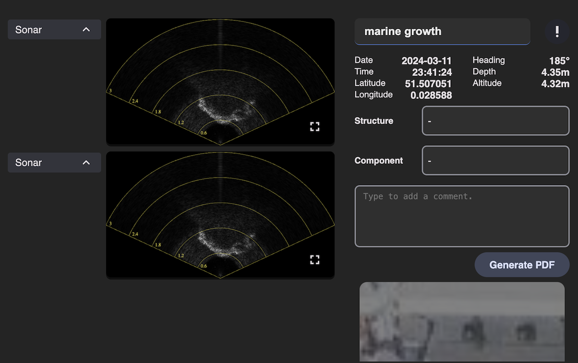
No hours lost with scattered data
Every .BeeX recording comes geo-referenced and time-stamped, so you can review the full, data-rich mission seamlessly. All data and positioning are integrated for maximum efficiency and easy data recalls.
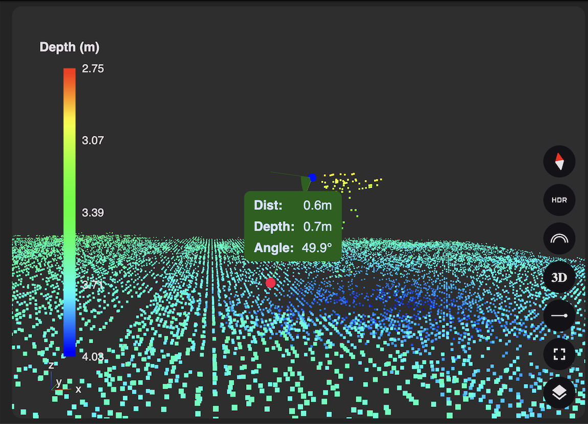
Actionable data for your asset
Anomalies are flagged the moment they're found, whether by AI classification or your own tagging.
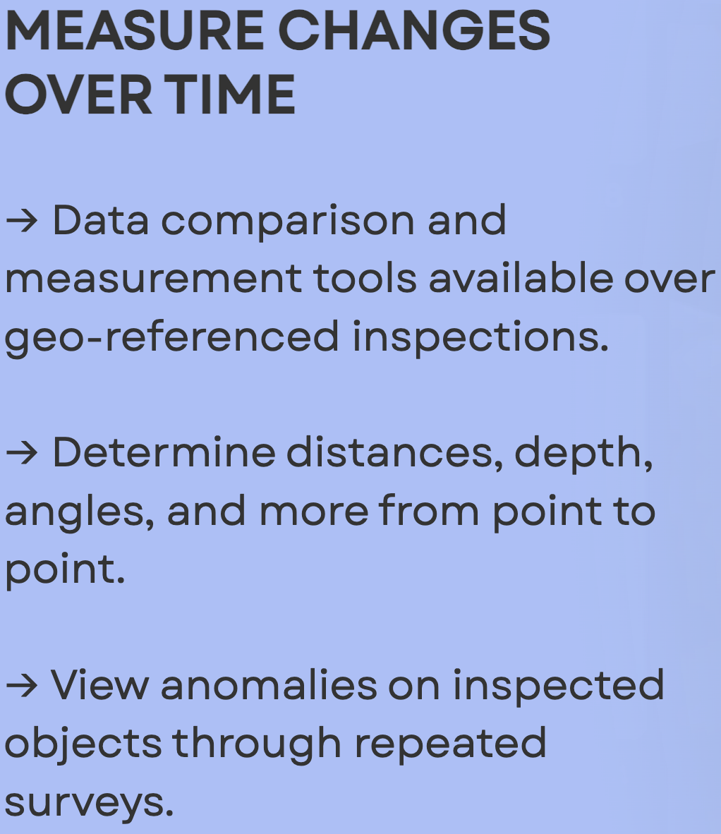
Through a built-in digital ruler for distance, depth and angle, you can determine exactly how assets have changed or degraded over time down to the centimetre.
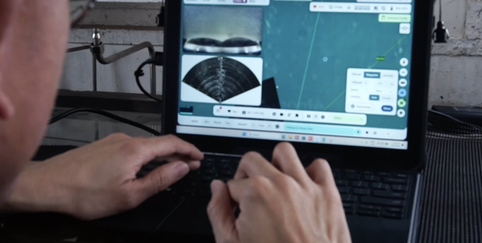
Reporting that matures with your project
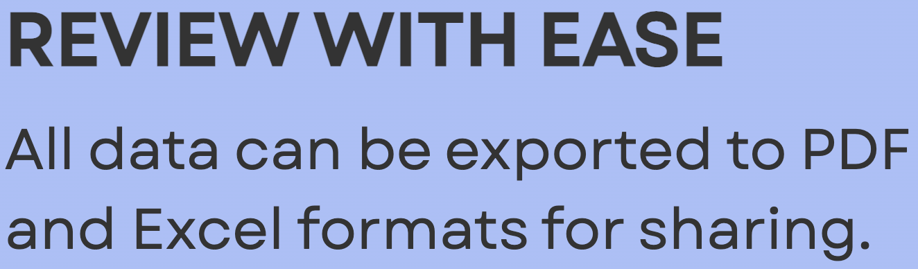
Data across sites, assets and years, come in structured, geo-referenced in ready-to-share PDFs, sheets, or presentations for faster, clearer, and consistent decisions across stakeholders.
Whether you're in offshore energy, defense, or coastal infrastructure, choosing autonomy starts with a conversation.
Transforming Underwater
Capabilities at Scale
All Rights Reserved © BeeX Pte. Ltd. 2026